Computer and Information SciencesBlogger

iPhylo

Rants, raves (and occasionally considered opinions) on phyloinformatics, taxonomy, and biodiversity informatics. For more ranty and less considered opinions, see my Twitter feed.ISSN 2051-8188. Written content on this site is licensed under a Creative Commons Attribution 4.0 International license.
Home PageAtom FeedMastodonISSN 2051-8188
language
Published

I'm doing some work with Nicole Kearney (@nicolekearney) at the Melbourne Museum on the general theme of "linking all the things". It's the end of the first full week we've had, so here's a quick update of what we've been up to. Brainstorming The things we want to do are being captured as a project on GitHub. This is where we come up with ideas, comment on then, then try to figure out which ones can be done.

Published

It's a nice feeling when work that one did ages ago seems relevant again. Markus Döring has been working on a new backbone classification of all the species which occur in taxonomic checklists harvested by GBIF. After building a new classification the obvious question arises "how does this compare to the previous GBIF classification?" A simple question, answering it however is a little tricky.

Published

I spent last Friday and Saturday at ( Research in the 21st Century: Data, Analytics and Impact , hashtag #ReCon_15) in Edinburgh. Friday 19th was conference day, followed by a hackday at CodeBase. There's a Storify archive of the tweets so you can get a sense of the meeting. Sitting in the audience a few things struck me. No identifier wars, DOIs have won and are everywhere.

Published

I've published a short note on my work on geophylogenies and GeoJSON in PLoS Currents Tree of Life : At the time of writing the DOI hasn't registered, so the direct link is here. There is a GitHub repository for the manuscript and code. I chose PLoS Currents Tree of Life because it is (supposedly) quick and cheap.

Published

Below I sketch what I believe is a straightforward way GBIF could tackle the issue of annotating and cleaning its data. It continues a series of posts Annotating GBIF: some thoughts, Rethinking annotating biodiversity data, and More on annotating biodiversity data: beyond sticky notes and wikis on this topic. Let's simplify things a little and state that GBIF at present is essentially an aggregation of Darwin Core Archive files.

Published

Following on from the discussion of the African chameleon data, I've started to explore Angelique Hjarding's data in more detail. The data is available from figshare (doi:10.6084/m9.figshare.1141858), so I've grabbed a copy and put it in github. Several things are immediately apparent. There is a lot of ungeoreferenced data. With a little work this could be geotagged and hence placed on a map.

Published

Note to self for upcoming discussion with JournalMap. As of Monday August 25th, BioStor has 106,617 articles comprising 1,484,050 BHL pages. From the full text for these articles, I have extracted 45,452 distinct localities (i.e., geotagged with latitude and longitude). 15,860 BHL pages in BioStor pages have at least one geotag, these pages belong to 5,675 BioStor articles. In summary, BioStor has 5,675 full-text articles that are geotagged.

Published

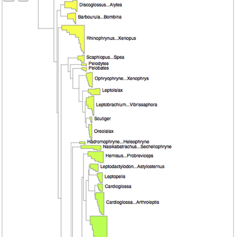
As announced on phylobabble I've started to revisit visualising large phylogenies, building on some work I did a couple of years ago (my how time flies). This time, there is actual code (see https://github.com/rdmpage/deep-tree) as well as a live demo http://iphylo.org/~rpage/deep-tree/demo/. You can see the amphibian tree below at http://iphylo.org/~rpage/deep-tree/demo/show.php?id=5369171e32b7a: You can upload or paste a tree (for now in

Published

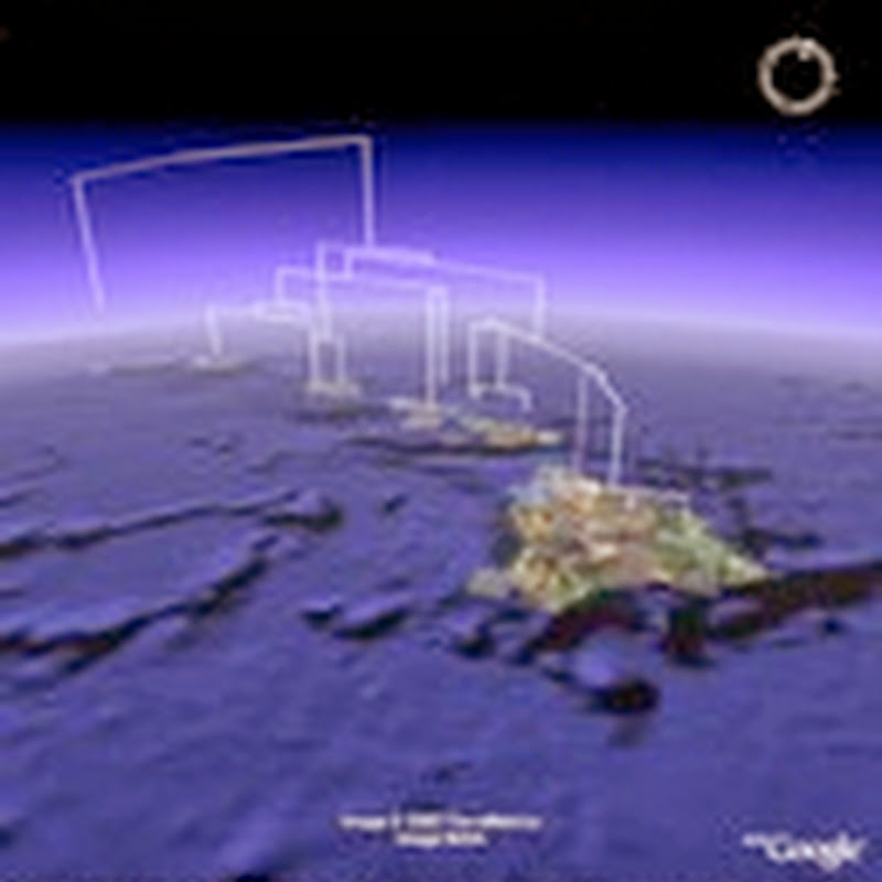
Today I managed to publish some data from a GitHub repository directly to GBIF. Within a few minutes (and with Tim Robertson on hand via Skype to debug a few glitches) the data was automatically indexed by GBIF and its maps updated. You can see the data I uploaded here. The data I uploaded came from this paper: This is the data I used to build the geophylogeny for Banza using Google Earth.