SpatialGeocomprRstatsLandscape-ecologySpatial-patternsEarth and related Environmental Sciences
Published
Author Jakub Nowosad
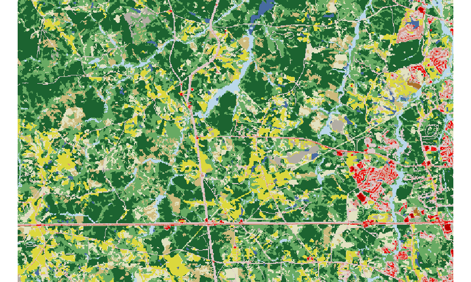
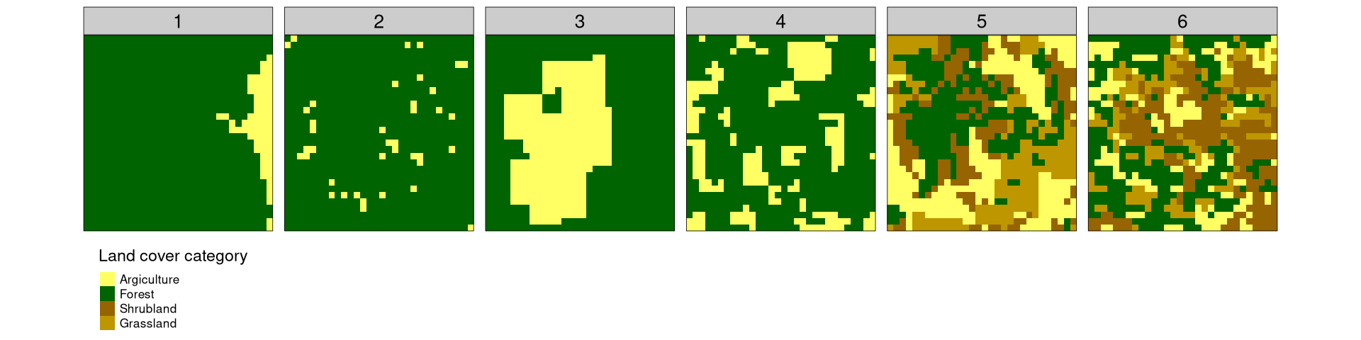
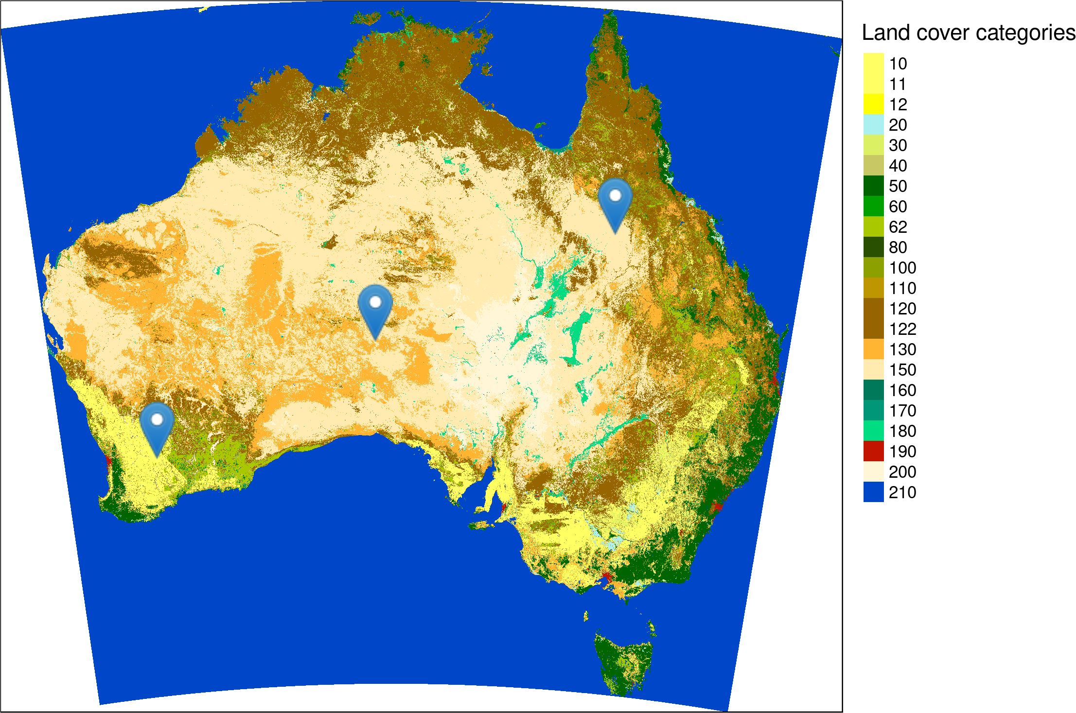
TLTR: Spatial signatures are multi-value representations of the patterns that compress information about spatial composition and configuration. Spatial signatures can be directly compared using various distance measures. Describing categorical rasters A categorical raster shown below represents land cover data for some area. This area is mainly covered by forest, with some small patches of agriculture, grasslands, and water.