At rOpenSci, our mission is to and we achieve this through We feel it is a time to reiterate and clarify why this is and what it means. The open in open source and open science means more than how we share code or data.It means knocking down the barriers to participation so that it is open and accessible to all,that everyone can join in the benefits and joys of science, and removing our blinders to the humanity of those we previously missed.
Dear rOpenSci friends, it’s time for our monthly news roundup! You can read this post on our blog.Now let’s dive into the activity at and around rOpenSci!rOpenSci HQ rOpenSci 2024 Highlights and what comes next in 2025 In this blog post, the rOpenSci Team shares the highlights of 2024 and what come next in 2025.

This week we had a wonderful community call, From Novice to Contributor: Making and Supporting First-Time Contributions to FOSS, where Sunny Tseng, Pascal Burkhard, and Yaoxiang Li shared with us their experiences with, and advice for, first time contributors, with the excellent moderation of Hugo Gruson.This was a perfect start to our special series of activities to support first time contributors to Open Source Software.
In 2024, we remained committed to open science and open source software.We continued to build a welcoming andinclusive community, through innovation and collaboration. Here are the highlights of the year:R-Universe R-Universe, rOpenSci’s platform for finding and publishing R packages,saw major advancements in 2024,making it an increasingly useful and trusted resource for the wider R community.

This week we had a wonderful community call, From Novice to Contributor: Making and Supporting First-Time Contributions to FOSS, where Sunny Tseng, Pascal Burkhard, and Yaoxiang Li shared with us their experiences with, and advice for, first time contributors, with the excellent moderation of Hugo Gruson.This was a perfect start to our special series of activities to support first time contributors to Open Source Software.
Maintaining Community Trust and Safety The rOpenSci community is supported by our Code of Conductwith a clear description of unacceptable behaviors,instructions on how to make a report,and information on how reports are handled.We, the Code of Conduct Committee,are responsible for receiving, investigating, deciding,enforcing and reporting on all reports of potential violations of our Code.We are committed to transparency with our community
Dear rOpenSci friends, it’s time for our monthly news roundup! You can read this post on our blog.Now let’s dive into the activity at and around rOpenSci!rOpenSci HQ R-Universe Named an R Consortium Top-Level Project We are excited to announce that R-Universehas been named the R Consortium’s newest Top-Level Project!

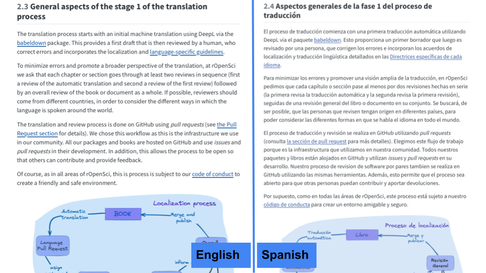
Since 2022, rOpenSci has been developing tools and processes to localize and translate our content.As a result of this effort, we created a set of guidelines to assist our community in translating and localizing our resources.What started as an internal challenge has evolved into a collaborative blueprint that we believe can help transform how scientific resources are shared in a multilingual research landscape.
We are excited to announce that R-Universehas been named the R Consortium’s newest Top-Level Project!
Dear rOpenSci friends, it’s time for our monthly news roundup! You can read this post on our blog.Now let’s dive into the activity at and around rOpenSci!rOpenSci HQ Looking for Maintainers to Support First-Time Contributors Now open to non-rOpenSci package maintainers! Making your first contribution to Open Source can be both empowering and intimidating.
Thanksgiving is celebrated in many parts of the world.The USA, rOpenSci’s official location, celebrates Thanksgiving this Thursday, 28th November.Giving thanks to contributors is also an important part of open-source software development.Many open-source software projects use the allcontributors.org system to acknowledge contributions, which includes One strong motivation for allcontributors.org is to “Recognize all contributors, including those