Forgotten AppalachiaLetcher County KYEnglisch
Veröffentlicht
Autor Alex Hall

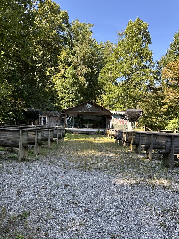
Forgotten Appalachia Series – Dunham High School: Letcher County’s Only Black High School in Jenkins, Kentucky If you drive up No. 4 Hollow above Jenkins today, the road climbs past St. George Catholic Church and a handful of houses before it levels off on a narrow shelf of ground. Here, on a bend in the hollow, a low concrete-block wing stands in the weeds.