
We are excited to announce that the second edition of Geocomputation with R is (almost) complete. It took us about three years to update and improve the book. This blog post summarizes the process and lists things we added and changed.

We are excited to announce that the second edition of Geocomputation with R is (almost) complete. It took us about three years to update and improve the book. This blog post summarizes the process and lists things we added and changed.
The ESRI Shapefile format is possibly the most popular data format for storing spatial vector data. It is well-established, widely supported, and can be used in most GIS software. At the same time, it has many shortcomings and limitations: it is not a single file, but a collection of files; it has a limit of 2GB per file;
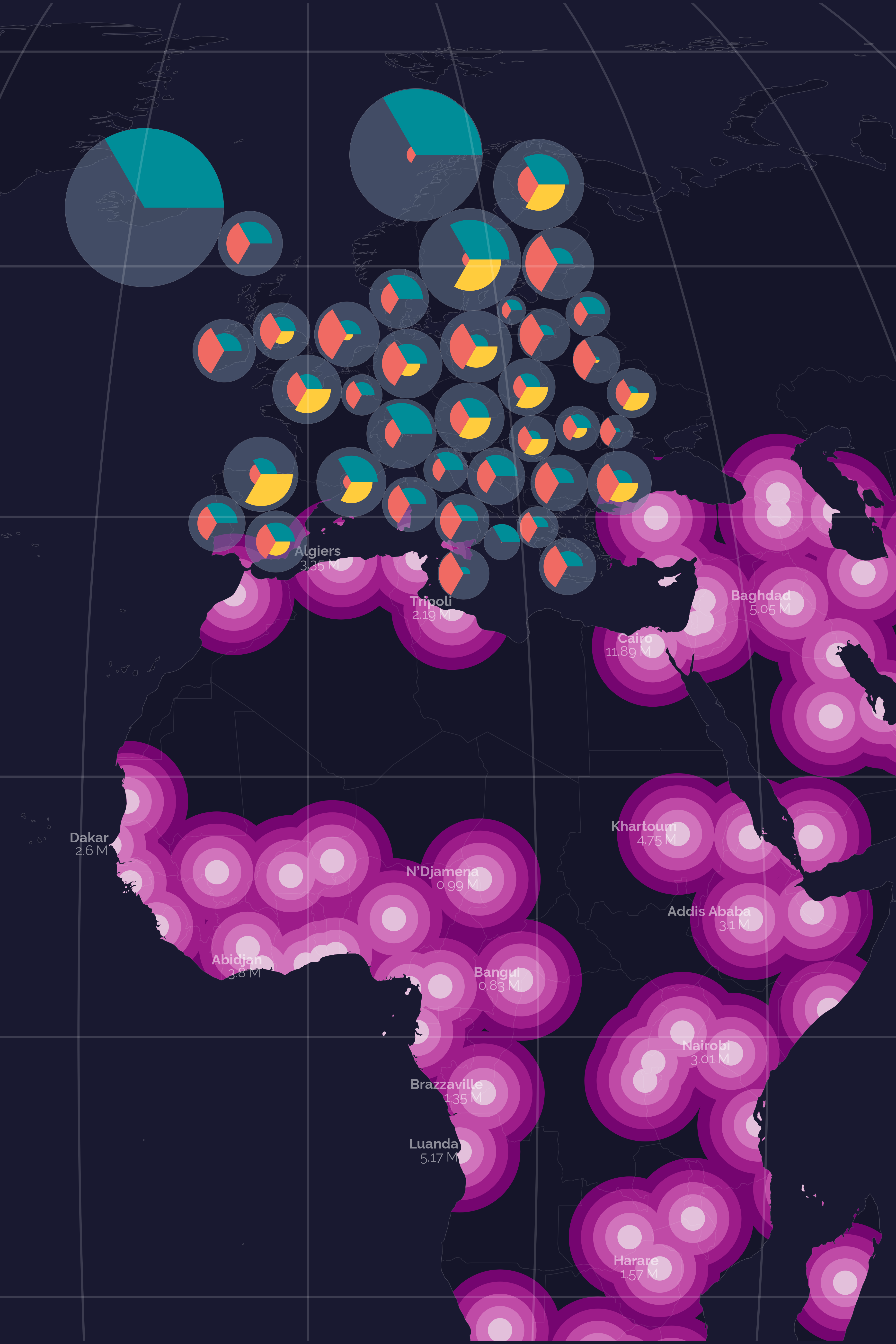
Note This is a guest blog post written by Benjamin Nowak. He is the winner of the Geocomputation with R book cover competition for the second edition of the book. Congratulations!
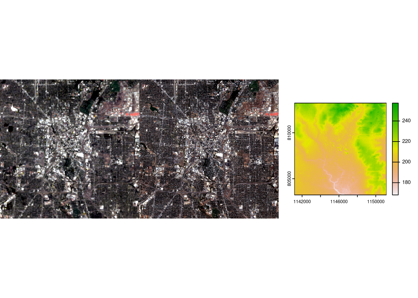
Introduction rsi is a recent R package developed by Michael Mahoney and funded by Permian Global Research. It offers features that simplify the process of acquiring spatial data from STAC ( SpatioTemporal Asset Catalog ) and calculating spectral indices based on such data. A unique feature of this package is its source for the indices.

Geocomputation with Python , also known as geocompy , is an open-source book on geographic data analysis with Python. 1 It is written by Michael Dorman, Anita Graser, Robin Lovelace, and me with contributions from others. You can find it online at py.geocompx.org. We started working on this project at the beginning of 2022, and since then, we have been making steady progress.
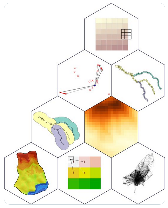
Introduction The 2nd edition of Geocomputation with R is due to be published in 2024. Now, we’re looking for a new cover image and we’d like your help.
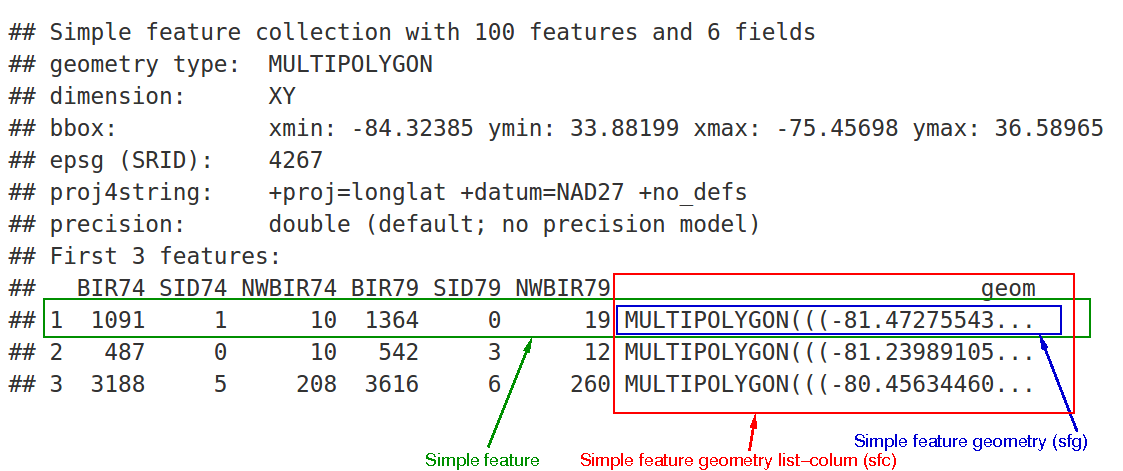
sf has transformed the R ecosystem and helped pave the way for wider adoption of geospatial workflows by R users.

Introduction In this blog post, we talk about our experience teaching R and Python for geocomputation. The focus of the blog post is on geographic vector data, meaning points, lines, polygons (and their ‘multi’ variants) and the attributes associated with them. Geographic data analysis is a broad topic and in a later post we will cover raster data, meaning gridded data such as satellite images.
The issue Three popular R packages for spatial data handling won’t be available on CRAN after October 2023. 1 These packages are: rgdal : a package that provides bindings to the GDAL and PROJ libraries. In other words, it gives a capability of reading and writing spatial data formats, creating coordinate reference systems and projecting geometries.
Geocomputation with R is a book on geographic data analysis, visualization, and modeling. Each chapter 1 ends with a set of exercises allowing the readers to test how well they understand each presented concepts and approaches. However, exercises are often not enough without their solutions, which provides a way to compare readers’ answers with an expected one.
Geocomputation with R is a book on geographic data analysis, visualization, and modeling. The First Edition was first published as a physical book in 2019 and we have reached 500k people through via the website at https://geocompr.robinlovelace.net/ and the physical book since then.